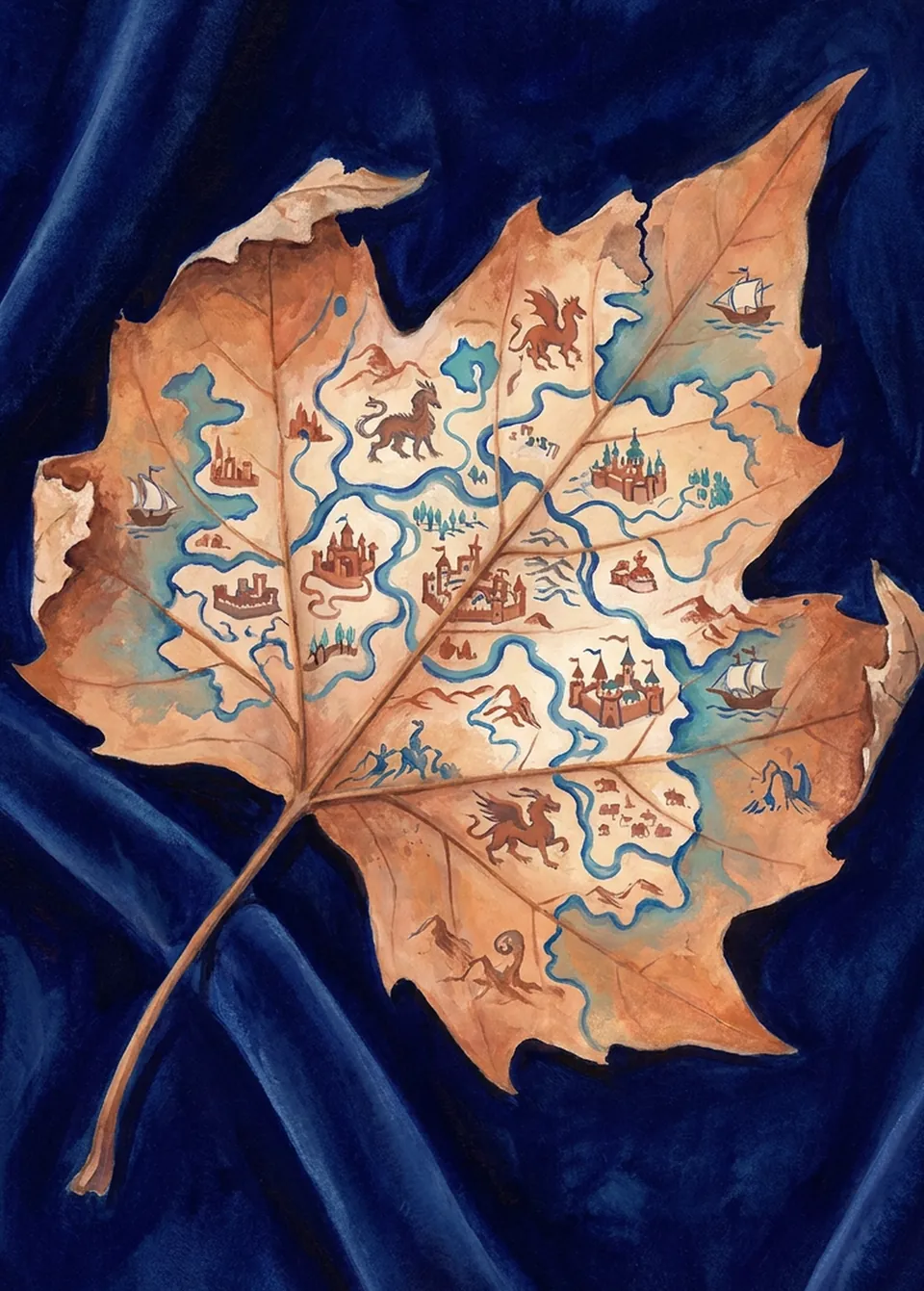
A Fragile Empire
An empire drawn so finely that the page could no longer be touched.
Why this image
An old map of a vast land, with rivers, castles, ships and dragons, is drawn on a single dry autumn leaf lying on dark blue velvet, and its edges have begun to curl and crumble. Erfgoed Leiden keeps a six-volume Blaeu atlas of 1658-1659, and from 2007 it was digitised page by page because it had become too fragile to handle 1. Its sheet 'Turcicum Imperium' shows the Ottoman Empire at its height, from Italy to the Caspian and south to Arabia 2. Not painted, but the same: since 2006 the University Library has kept its maps and atlases with the Oriental collections, under one roof 3.
What it draws on · 3
de atlas Blaeu
Erfgoed Leiden en Omstreken, on the Boisotkade, keeps a Blaeu atlas: 'Toonneel des Aerdrycks, ofte Nieuwe Atlas' — the Theatre of the World, or New Atlas — named after its makers, the Amsterdam mapmakers Willem Jansz. Blaeu and his son Joan. Leiden's copy is the six-volume edition of 1658-1659: engraved maps with descriptive texts, not letters or manuscripts. From 2007 it was digitised page by page, because it had become too fragile to handle.
Sources · 3
- Erfgoed Leiden en Omstreken — schatkamer: 'Bladeren door Blaeu' (erfgoedleiden.nl)
- Europeana — 'Toonneel des Aerdrycks, oft Nieuwe Atlas, uytgegeven door Wilhelm en Joan Blaeu', exemplaar Erfgoed Leiden (LEI050000002)
- Studiekring Historische Cartografie — 'Blader door de Blaeu-atlas' (digitaliseringsproject 2007)
het Ottomaanse Rijk op de kaart
The atlas maps the Ottoman Empire on several sheets. 'Turcicum Imperium', published in Amsterdam by Willem and Joan Blaeu around 1640, shows the empire at its height: from Italy and Sardinia in the west to the Black Sea and the Caspian, and south to the Red Sea, the Gulf of Aden and Arabia. Above its title sits Sultan Murad IV, who reigned from 1623 to 1640. Blaeu gives separate sheets to Natolia — roughly the Asian part of present-day Turkey — and to Palestina.
Sources · 3
- Willem & Joan Blaeu, 'Turcicum Imperium', Amsterdam ca. 1640 — kaartbeschrijving Rijksmuseum, objectnr. Kaart van het Ottomaanse Rijk
- Erfgoed Leiden en Omstreken — 'Bladeren door Blaeu': index op werelddeel, land en plaats
- Blaeu, 'Grooten Atlas' — de delen Natolia en Palestina ofte het Beloofde Land
niet alleen handschriften
In 2006 five departments were merged into a single Special Collections sector: Western manuscripts and archives, Western printed books, the Oriental collections, the maps and atlases of Bodel Nijenhuis, and the Print Room. Anyone coming here to look at the Ottoman Empire therefore finds not only books but maps and prints under the same roof.
Sources · 2
- Nederlandstalige Wikipedia — Universiteitsbibliotheek Leiden: samenvoeging 2006 tot sector Bijzondere Collecties
- Universiteit Leiden — Bijzondere Collecties: bezoek en gebruik
Shares its places with · 6
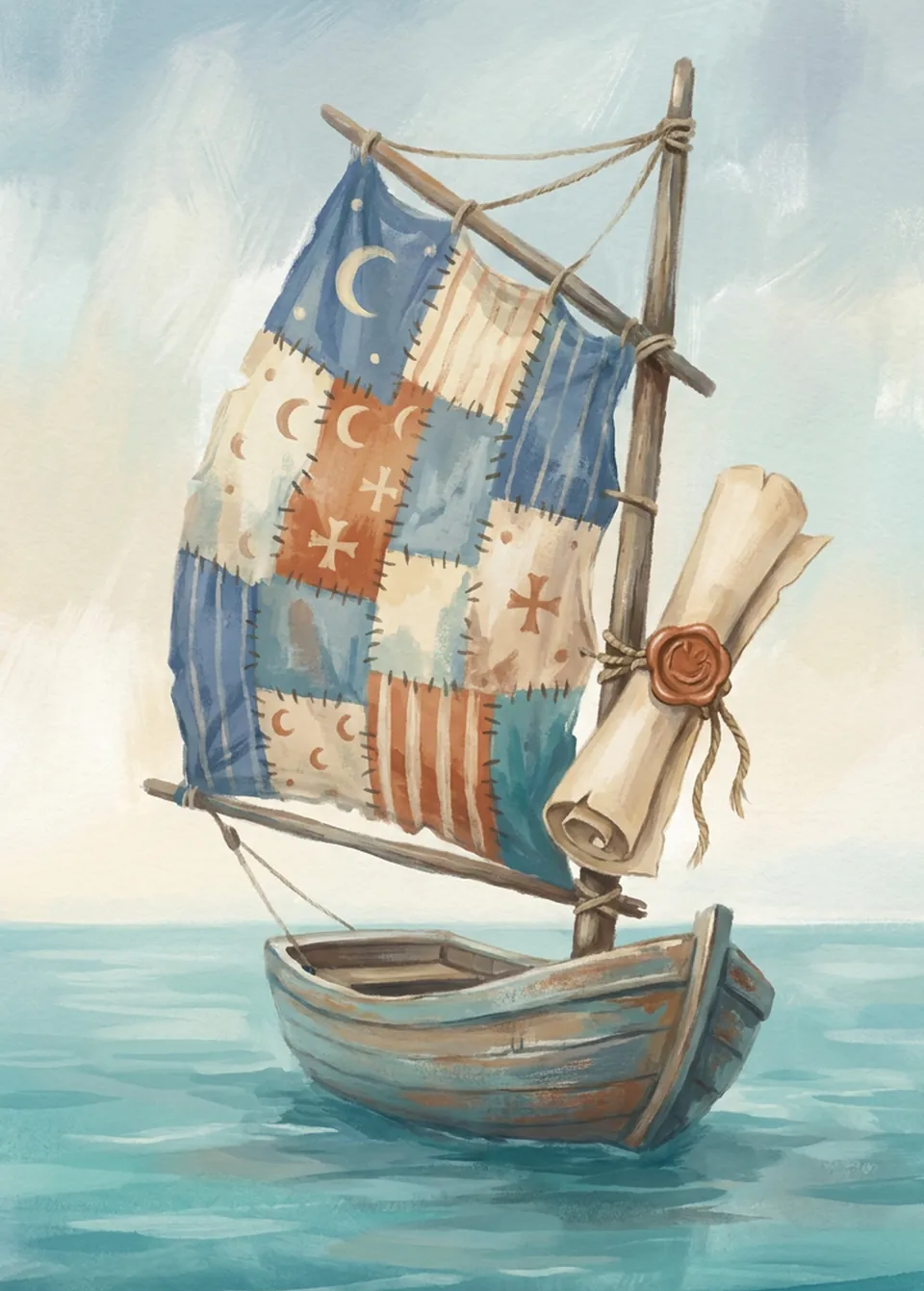 Another FlagHeritage Leiden and Surroundings (Atlas Blaeu)
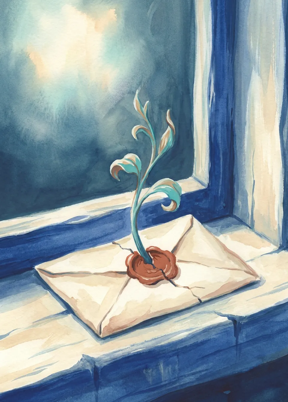 A Seed in a LetterHeritage Leiden and Surroundings (Atlas Blaeu)
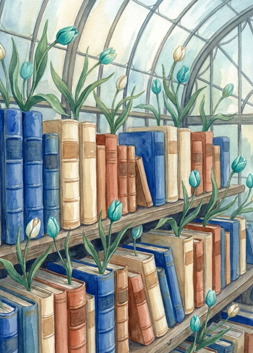 Under GlassLeiden University Library - Ottoman Collection
 The Same RouteLeiden University Library - Ottoman Collection
 The BequestLeiden University Library - Ottoman Collection
 Held by OneLeiden University Library - Ottoman Collection
Painted with an image model from the facts on this page, and chosen by hand. City in Motion.